MOUNTAIN BIKE ROUTE N. 7 - ROCHELOTTE - DEPARTURE LARCENAIRE

  • Mountain Bike
Bussang
Array
Distance in kms : 7,5
Difference in altitude : 140
Blue

Map

- Departure/Arrival
- Point of interest
Circuit n° 1
Circuit n° 2
Circuit n° 3

Presentation

Marked FFC trail from Larcenaire : Track 7 Rochelotte

- difficulty level Blue - length of the trail 7.5 km - elevation + 140 m.

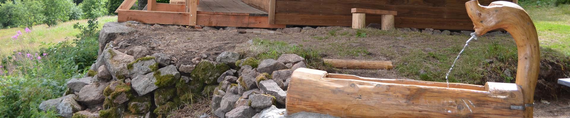
Route in a loop, you will pass close to the "Rochelotte" shelter.

The GPx track is available for download above.

The map of the mountain bike routes of the Hautes Vosges mountains is downloadable here above.

Opening day(s)

All year long 2024

Every day

Good to know
  • Documents available in: :
    • English
    • German
    • Dutch

Pics

  • circuit-rochelotte
Contact details of the owner
MOUNTAIN BIKE ROUTE N. 7 - ROCHELOTTE - DEPARTURE LARCENAIRE
Larcenaire
88540
BUSSANG
mail / message
FICHE_INFO_SIMPLE_ECRIRE_MESSAGE
Fields with an asterisk * must not be left blank
My request
Your Contact Details
In accordance with Law No. 78-17 of 6 January 1978 of the National Committee for Information Technology and Civil Liberties (CNIL) with regard to computing, files and liberties (article 36), the interested party is entitled to ask for his/her personal information to be rectified, completed, clarified, updated or deleted if it is inaccurate, incomplete, ambiguous, elapsed or in respect of which it is forbidden to use, disseminate or store said information. Should you wish to exercise this right, please specify the fact in the form above.
We also suggest...
  • circuit-champe
    MOUNTAIN BIKE ROUTE N.1 - CHAMPÉ - DEPARTURE TOURIST OFFICE
  • circuit-tour-village
    MOUNTAIN BIKE ROUTE N.2 - AROUND THE VILLAGE - DEPARTURE TOURIST OFFICE
  • circuit-saute
    MOUNTAIN BIKE ROUTE N.6 - LE SAUTÉ - DEPARTURE TOURIST OFFICE
  • circuit-bouloie-sechenat
    MOUNTAIN BIKE ROUTE N.9 - LA BOULOIE-SÉCHENAT - DEPARTURE TOURIST OFFICE
  • circuit-tour-la-hutte
    MOUNTAIN BIKE ROUTE N.8 -TOUR DE LA HUTTE - DEPARTURE ÉTANG DES SOURCES