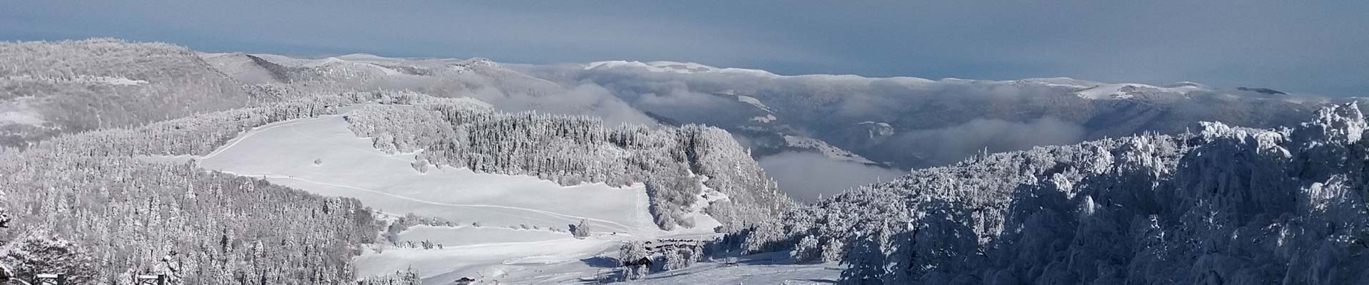
MTB route n° 8 - Tour de la Hutte - departure : Étang des sources
- Mountain Bike
Distance in kms
:
21,5
Difference in altitude
:
335
Red
 Departure/Arrival
 Point of interest
Circuit n° 1
Circuit n° 2
Circuit n° 3
Presentation
Marked FFC trail starting from the Étang des Sources pound : Track 8 tour de la Hutte
- difficulty level Red - length of the trail 21.5 km - elevation + 335 m.
Route in a loop, you will pass close to the Col du Page, the Étang Jean and the Source of the Moselle.
The map of the Hautes-Vosges mountain bike circuits is downloadable.
The GPx track is available for download above.
Opening day(s)
All year long -2024
Every day
Good to know
- Documents available in: :
- English
- German
- Dutch
Pics


Contact details of the owner
MTB route n° 8 - Tour de la Hutte - departure : Étang des sources
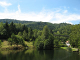
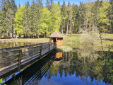
Étang des sources
88540
BUSSANG
Phone : +33 3 56 11 00 90
We also suggest...


