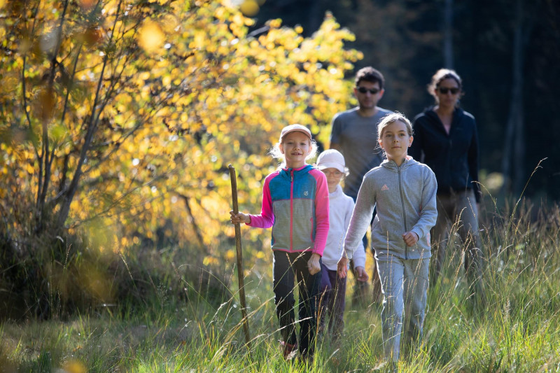
Family walk - La Rochaule trip
 Departure/Arrival
 Point of interest
Presentation
Circuit de la Rochaule (Municipality of Ferdrupt).
Duration: 2 hours.
Difficulty: medium (family walk with children).
Lenght: 6 kilometers.
Elevation : +170 meters.
Markings: blue ring, a short section on unmarked asphalt road.
Places of interest: the mountain valleys of Grandrupt and the Colline de Ferdrupt, presence of a "haut-fer" at the halfway point.
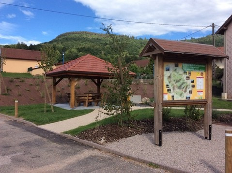
Departure: Ferdrupt town hall car park.
Access: From Le Thillot, follow the N66 towards Epinal. The road crosses Ramonchamp before entering Ferdrupt. The town hall is on the right about 300 meters after the church.
Description of the route:
From the town hall car park, follow the indication "Domaine du Châtelet", take the road that climbs along the
200 meters fire station. At the first intersection, continue uphill following the direction "Domaine du Châtelet", "route du Châtelet".
Continue to climb this road for 300 meters, do not turn right into "rue des Clos". At the hairpin, continue your walk by turning left "Chemin des Febvés" blue ring markings. At 20 meters, pass near a log cabin (log cabin) on the left. Continue on this road for about 1 km.
Pass near a small, closed chalet with an outside bench that you will find on the left.
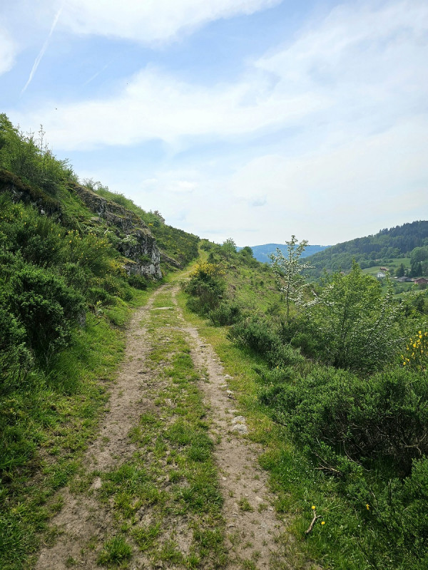
At the end of the asphalt road, continue straight on the forest path (sign "dead end") following the blue ring markup. Passage next to a large farm.
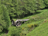
Cross the pastures and follow this path for about 1 km. Passage next to a private pond. Passing near a shed with a green roof next to a house, you see in the distance a "haut-fer" that looks like a mill. Passage next to the farm "Vlaemynck" (sale of goat cheese and meat).
Take the path on the right above the farm, following the blue ring markings. Go through the fence and go up the path for 40 meters (do not go up to the hangar). Take the right path following the blue ring markings for 300 meters.
Pass the fence and continue on this path, following the blue ring markings. It dominates the path you came from, below on the right.
The path crosses a forest for 800 meters and offers many views over the valley.
At the crossroads, leave the blue ring markings then go down to the right for 20 meters to reach the paved road.
At the next crossroads, take the road on the right "Chemin des Galmanprés" for 800 meters.
At the 2nd bend, take the left road towards "Domaine du Châtelet". Go through the huts and trailers then cross the blue bridge.
Go down the path to the right along the stream, blue ring markings and yellow disc. The path joins a paved road that you have to follow on the right to reach the town hall and the starting point of the walk.
All year long -2025
Every day


