MTB itinerary n°1 - Col de Morbieux - Departure : town hall
- Mountain Bike
Distance in kms
:
16
Difference in altitude
:
550
 Departure/Arrival
 Point of interest
Circuit n° 1
Presentation
Signposted circuit departing from Ramonchamp town hall.
Circuit n ° 1 "Col de Morbieux".
Difficulty level: red. Distance: 16 km. Elevation: 550 meters.
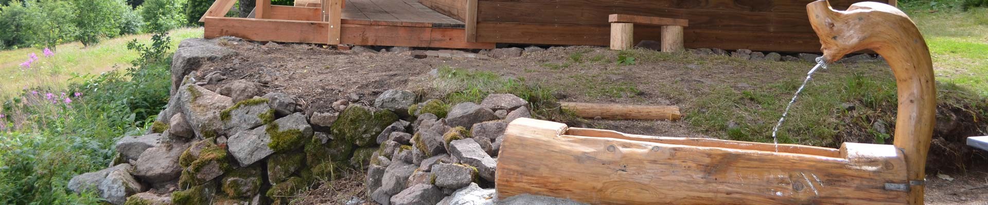
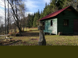
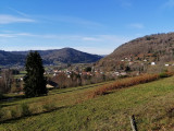
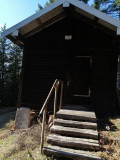
Circuit which allows you to discover beautiful panoramas on Ramonchamp from Roche Jolie, the Chalet de Salmon and Bénapré as well as beautiful forests near the Col de Morbieux with chalets to rest.
The map of the Hautes-Vosges mountain bike circuits can be downloaded.
The GPX track of the route can be downloaded below.
Opening day(s)
All year long -2025
Every day
Pics


Contact details of the owner
MTB itinerary n°1 - Col de Morbieux - Departure : town hall
1 Grande Rue
Mairie de Ramonchamp
88160
RAMONCHAMP
Phone : +33 3 56 11 00 90
We also suggest...

