MTB itinerary n°1 - Etang du Frac - Departure: Etang du Frac
- Mountain Bike
Array
Distance in kms
:
5
Difference in altitude
:
175
 Departure/Arrival
 Point of interest
Circuit n° 1
Circuit n° 2
Circuit n° 3
Presentation
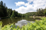
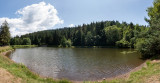
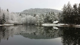
Signposted circuit departing from the Etang du Frac. Circuit n ° 1 "Etang du Frac".
Difficulty level: green. Distance: 5 km. Elevation: 175 meters.
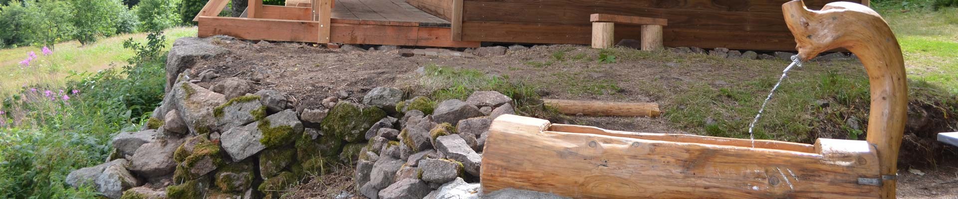
Circuit which allows you to discover a peaceful pond surrounded by forests, a statue of the Virgin nestled in the hollow of a rock and an old dry stone bridge.
The map of the Hautes-Vosges mountain bike circuits can be downloaded.
The GPX track of the route can be downloaded below.
Opening day(s)
All year long -2024
Every day
Good to know
- Documents available in: :
- English
- German
- Dutch
Pics


Contact details of the owner
MTB itinerary n°1 - Etang du Frac - Departure: Etang du Frac
rue de l'Etang
Etang du Frac
88160
FRESSE SUR MOSELLE
Phone : +33 3 56 11 00 90
We also suggest...


