MTB route n°9 - La Bouloie-Séchenat - departure : tourist office
- Mountain Bike
Array
Distance in kms
:
17
Difference in altitude
:
350
Red


MTB route n°9 - La Bouloie-Séchenat - departure : tourist office
 Departure/Arrival
 Point of interest
Circuit n° 1
Circuit n° 2
Circuit n° 3
Presentation
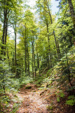
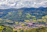
Marked FFC trail starting from the tourist office : Track 9 La Bouloie-Séchenat
- difficulty level Red - length of the trail 17 km - elevation + 350 m.
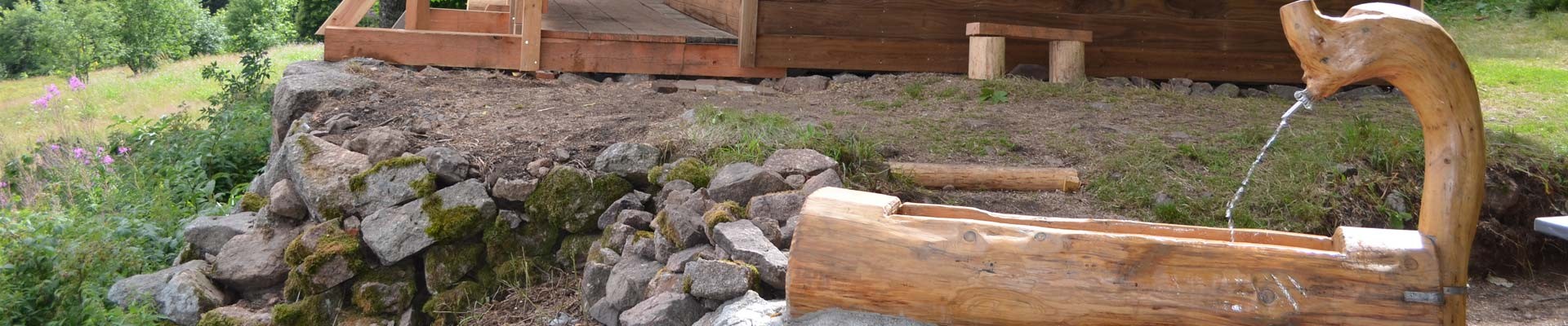
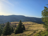
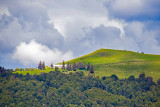
Route in a loop, you will pass close to the Source of the Moselle, the shelters : Chalet des Founès, Chalet des Evaux and Chalet du Séchenat.
Attention, due to a landslide on the route, the route is modified just before the Chalet des Evaux, it will be necessary to go down directly in the direction of Séchenat to join the beginning of the viaduct and to take the end of the route towards Meuselotte.
The map of the Hautes-Vosges mountain bike circuits is downloadable.
The GPx track is available for download above.
Opening day(s)
All year long -2024
Every day
Good to know
- Documents available in: :
- English
- German
- Dutch
Pics


Contact details of the owner
MTB route n°9 - La Bouloie-Séchenat - departure : tourist office
8 avenue de la gare
88540
BUSSANG
Phone : +33 3 56 11 00 90
We also suggest...


