Le Drumont - orientation table - heritage- monument


Presentation
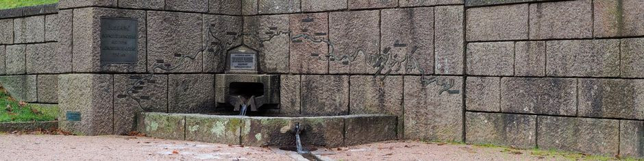
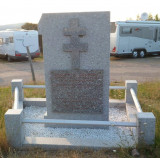
High place of resistance, the Chaume du Drumont was set on fire by the Germans on September 23, 1944. Hard fights were delivered by the Corps Franc Pommiés at the end of November 1944. A commemorating plaque raises the sacrifice of those volunteers.
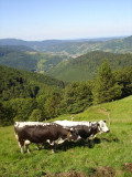
At 1,200 m, an orientation table erected by the French Alpine Club and dating from 1891 explains its amazing surrounding panorama view. A glance at the valley reveals Bussang, nestled on the side of the mountain Tête des corbeaux. The panorama of the Ballon d'Alsace, the Rossberg and the Grand Ballon is simply grandiose. To the south, in very clear weather, you can see the Swiss Alps. The panorama switches between wooded summits and urbanized valleys.
The farm inn is no longer open !
All year long 2025
Every day
- Category of environmental heritage :
- Regional country park
- Conditions of visit (groups) :
- Signposted footpaths
- Conditions of visit (individuals) :
- Signposted footpaths
- Location :
- In a Regional Country Park
- In the mountains


