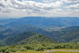
The route des Crêtes and the Grand Ballon
BussangPresentation
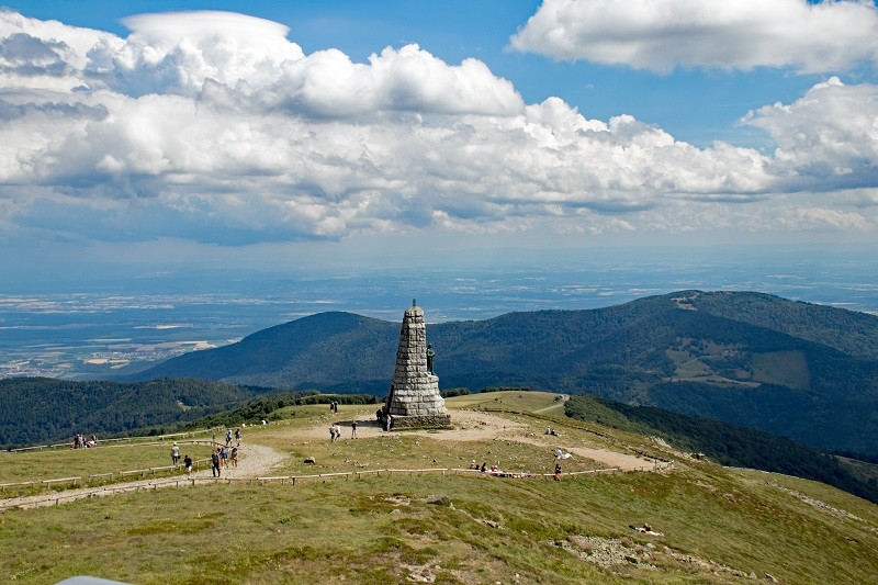
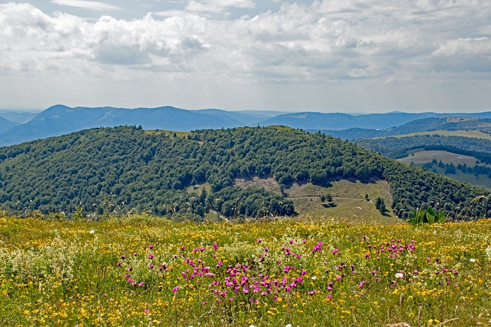
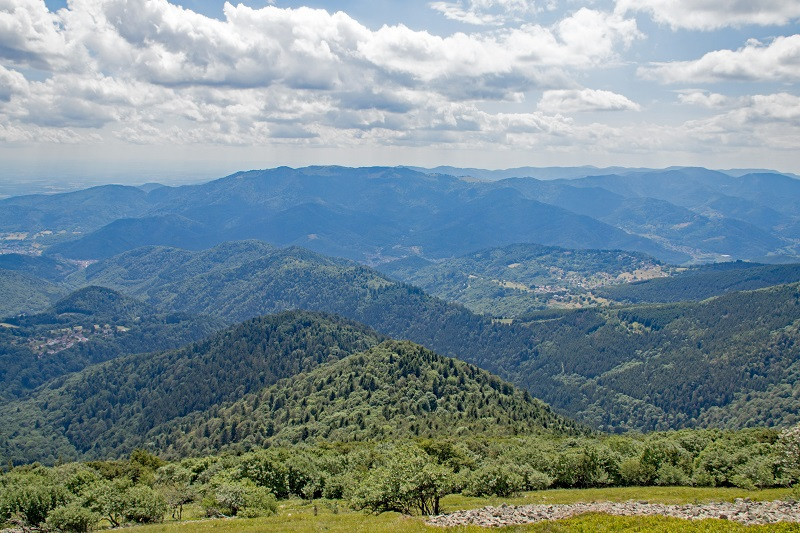
The ROUTE DES CRÊTES: from Cernay to the Bagenelles pass, the Route des Crêtes connects the main viewing points of the Vosges mountains over 73 km.
The Route des Crêtes as it exists today was built between 1930 and 1935 between Cernay and La Schlucht.
The Route des Crêtes facilitates access to the summits of the Vosges mountains: the Grand Ballon (1,424 m), the Rothenbachkopf (1,316 m), the Kastelberg, the Hohneck, the Gazon du Faing (1,303 m), the Brézouard and the lakes at the bottom of the valley. The Route also enables access to the Hartmannswillerkopf battlefield and military cemetery.
The Route des Crêtes, a former strategic road, is now the tourist backbone of the Hautes-Vosges.
BE CAREFULL : in autumn, as soon as the first snow falls, the access to the Route des Crêtes is closed until May 01 of the following year. Only the sections that lead to a ski area are open with a well equiped car.
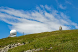
THE GRAND BALLON: (from the Alsatian dialect: Grosser Belchen) is the highest point of the Vosges mountains, the Alsace region and the Haut-Rhin department. It is located 25 km northwest of Mulhouse.
Some still call it Ballon de Guebwiller, named after the nearest town, 8 km to the east as the crow flies. It is 1,424 metres (1,423.7 m IGN) high.
From the summit and its orientation table, you can see, in the plain, Mulhouse, Basel (CH), Freiburg im Breisgau (D), and Colmar in the foreground; the Black Forest and the Swiss and French Jura in the background; and even a large part of the Alps on a clear day, from Austria and Liechtenstein to the Mont Blanc.
From Friday 01 May to Sunday 15 November 2026
Every day


 Departure/Arrival
 Point of interest
