Municipality of Fresse-sur-Moselle


Presentation
Fresse sur Moselle is located in the upper valley of Moselle, 10 km away from the Col de Bussang, on the national road 66 leading from Remiremont to Thann.
The centre of the village is 520 m above sea level and overlooked in the north by the Massif du Haimant (1,070 m) and the Massif du Peut-Haut (1,094 m), and in the South by the neighbouring Ballon de Servance. The village is crossed by the Moselle river.
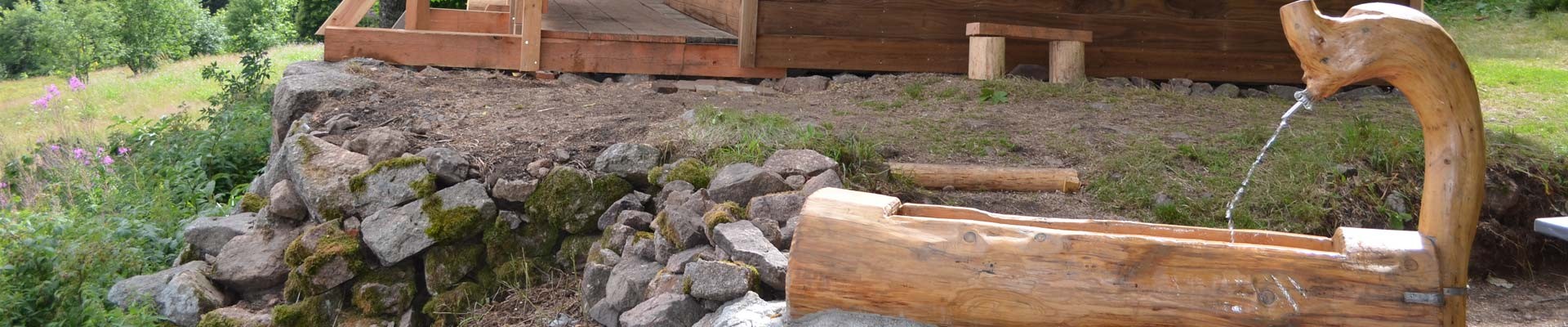
Discover the chapel of the Vés, the pond of the Frac, the cross of Couard, the church of Saint Brice, the dry stone bridge built in the 18th century…
The map of the village ist downloadable here
Opening day(s)
All year long -2024
Monday, Tuesday, Wednesday, Thursday, Friday, Saturday
08:00 to 12:00
Monday, Tuesday, Wednesday, Thursday, Friday
14:00 to 17:00
Destination
Commune de Fresse-sur-Moselle
2 rue de la mairie
88160
FRESSE SUR MOSELLE
GPS coordinates
Latitude : 47.87627
Longitude : 6.78511
Contact
Municipality of Fresse-sur-Moselle
2 rue de la mairie
88160
FRESSE SUR MOSELLE
Phone : +33 3 29 25 02 17
We also suggest...

