Family walk - Chapelle de Pitié
 Departure/Arrival
 Point of interest
Presentation
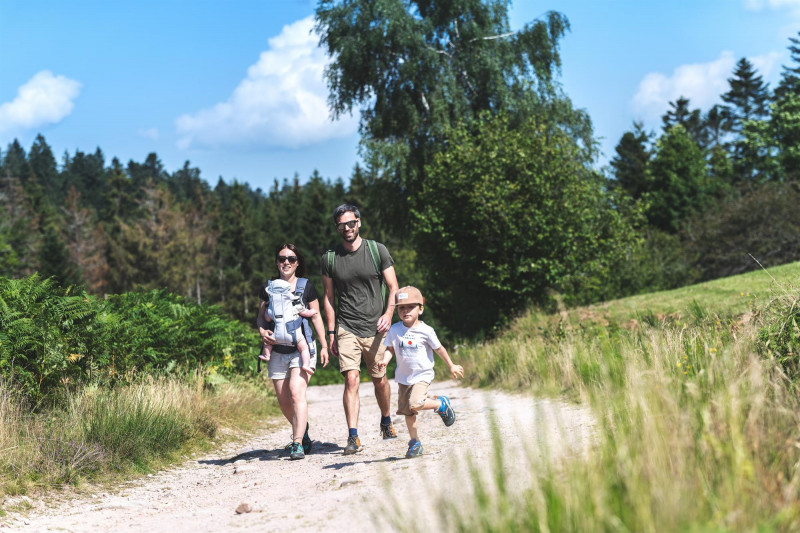
Circuit of the Chapelle de Pitié (Municipality of Le Ménil).
Duration: approximately 1 hour.
Difficulty: easy (family walk with children).
Lenght: 2.5 kilometers.
Elevation: +113 meters.
Marking: blue diagonal cross, short unmarked parts.
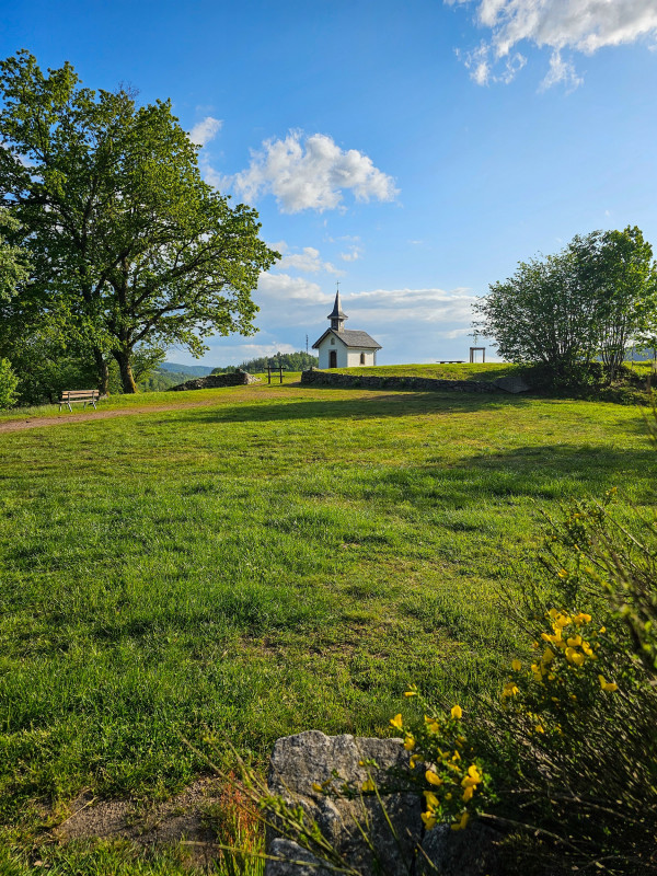
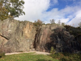
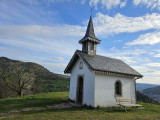
Places of interest: Pitié Chapel, Beaudevé climbing rock.
Departure: parking lot of the sports course (Chalet Tutur).
Access: from Le Thillot, follow the D486 towards Le Ménil. At Ménil, after the church, continue for 50 meters and turn right, at the restaurant "Les Sapins". Follow the direction "parcours sportif" for about 2 kilometers at the bottom of the valley then the road climbs to the left and leads to a car park with a closed chalet.
Description of the route:
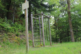
Below the car park, you will see a large health trail sign - nature which presents
the 16 apparatus of the course and the arboretum of Ménil. Take the direction of the fitness trail on your
right following the blue diagonal cross markings. Go through the workshops (warm-up, obstacles 1 and 2) by following the forest path of the fitness trail.
After 200 meters, at apparatus 4, continue following the blue diagonal cross sign "modified route" on the path which goes up to the left. Always continue on the forest path of the fitness trail, there is a large bend at workshop 6.
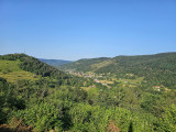
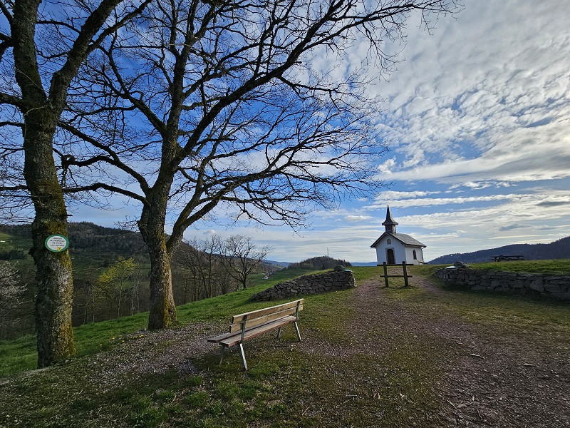
After 20 meters, in a bend, you pass a bench. View of the Granges Valley
and the Tête des Renards. You may see paragliders take off from this summit ...
Pass apparatus 7, followed by a large bend and continue on the path. You come to the back of
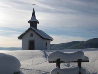
the Chapelle de Pitié. Turn around and you can admire the view of Le Ménil and the top of
the Rouauche surmounted by a pylon, with the Tête des Renards on the left. The chapel is open.
Turn your back to him and you have in front of you an emblematic place of the Ménil: the Tête des Champs.
At the picnic area, to continue the walk, do not follow the sign "circuit" but go towards the
small wall opposite and follow the blue diagonal cross direction "rock climbing 5 minutes".
If you wish, you can make a round trip to the picnic area and its sculptures,
from where a nice view of the Col du Ménil unfolds. Retrace your steps to the crossroads then resume on
on your left, the blue diagonal cross marking out the path which climbs for 50 meters and brings you to the climbing rock.
To continue the walk, still follow the blue diagonal cross for 50 meters on a wide path. It is
possible to reach the picnic area again by taking the small path on the left (fairly dangerous rocky path, be careful ...).
Continue on the right path for 20 meters then immediately take the right path which goes down (do not follow the blue diagonal cross on the left path). The path joins a crossroads with a dirt road and a forest path.
Take the unmarked dirt track that goes down and not the forest path that goes up. Continue on
this dirt road for 200 meters and you will find yourself again at the Chapelle de Pitié.
At the sign of the place called "Chapelle de Pitié Alt: 697 meters", continue your walk by taking
the second part of the fitness trail and the arboretum. Head towards the "circuit" sign
on the right.
Take the path that descends and leads you to workshop 8 after 50 meters.
Follow the fitness trail with its exercises as well as the arboretum over 700 meters downhill.
You will then reach the starting point of the walk at the car park and Chalet Tutur.
All year long -2025
Every day


