Family walk - Mont de Fourche circuit

 Departure/Arrival
 Point of interest
Presentation
Mont de Fourche circuit (Municipality of Rupt-sur-Moselle).
Duration: 2h.
Difficulty: easy (family walk with children).
Lenght: 5 kilometers.
Elevation: +106 meters.
Markings: red ring, mountain bike circuit n ° 2.
Places of interest: viewpoint of the Col du Mont de Fourche, forest chalet des Sapins, passage near a wild pond.
Departure: parking lot at the top of the pass, on the left (picnic area).
Access: From Le Thillot or Remiremont, follow the N66 to Rupt-sur-Moselle. At the traffic lights, follow the direction of Col du Mont de Fourche (left from Le Thillot, right from Remiremont). The pass is located 3 km from the traffic lights.
Description of the route:
The course merges completely with the mountain bike circuit n ° 2 of Rupt-sur-Moselle.
Cross the main road (be careful, there is no pedestrian crossing) to join the small road on the left which overlooks the parking lot. The walk begins on this road at the start of the hiking signs.
Take this road by following the direction "Chalet des Sapins 30mn" red ring markings.
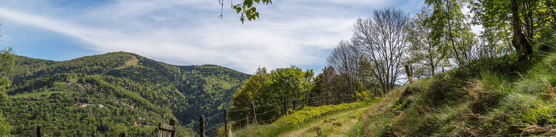
After 100 meters, you can admire the view of the city of Rupt-sur-Moselle and the Croix de Parier.
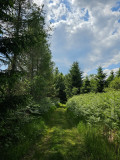
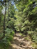
Go to an intersection, turn left on the forest path marked with red ring circuit MTB n ° 2. Continue on this path for about 1.5 km.
This portion of the GR7 is called “Chemin des Soldats” because it links the Fort de Rupt to the Fort de Chateau-Lambert.
Except from the white and red markings of the GR, you will also see a red ring.
Passage near the "Chalet des Sapins" which is below on the left at 20 meters.
Free access chalet with tables and benches, managed by hunters.
Continue for 700 meters. At the level of a clearing, do not go to the left MTB circuit 4. Do not go straight ahead, red ring markings and MTB circuit 3 and 4. Turn right onto the path towards MTB 2. This path bordered by ferns leads to a private pond (swimming prohibited).
Continue on the right path which runs along the pond marked out mountain bike circuit 2-3. Do not turn left on the road side. Continue on this path: the descent is dangerous for 300 meters.
Continue for approximately 1.5 km to reach the starting intersection. At the crossroads, take the road on the left over 100 meters to reach the pass and enjoy the last glimpses of the valley and the village of Rupt-sur-Moselle.
All year long -2025
Every day