Hiking route la borne des 3 communes
 Departure/Arrival
 Point of interest
Presentation
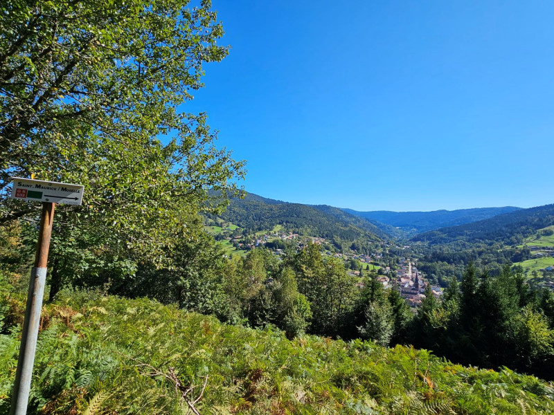
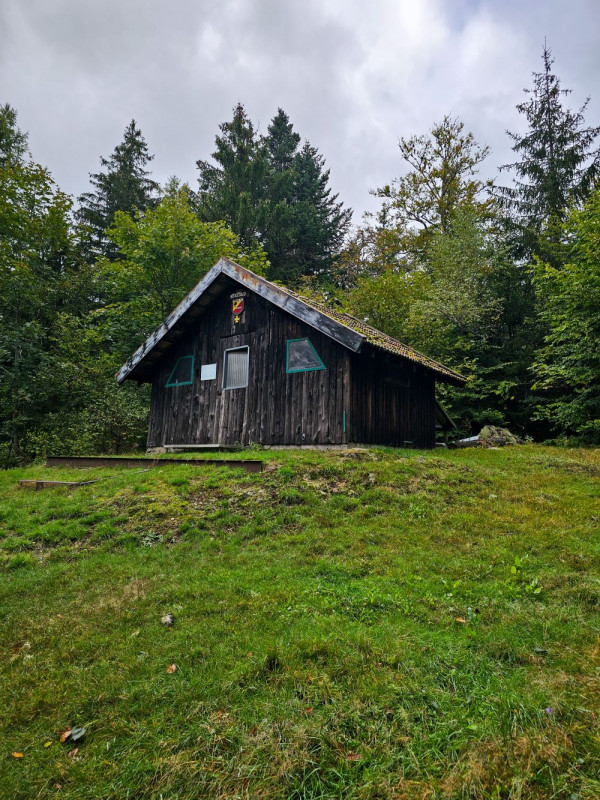
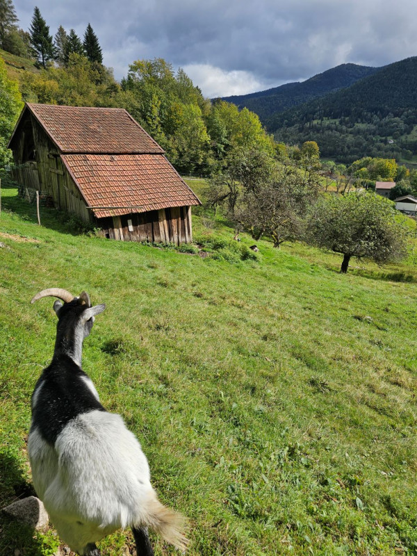
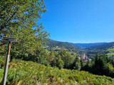
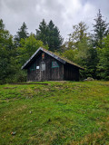
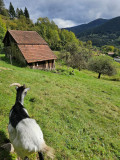
This pretty walk towards the Col du Lait offers beautiful views of the village before stopping at the Abri du Vallon and the Borne des 3 Communes to finally discover the view from the Roche du Frey.
Lenght : 10.5 km, elevation : + 350 meters, duration : 3h15. IGN reference map 3619 OT.
Starting point: Saint-Maurice-sur-Moselle Tourist Office parking lot.
Behind the Tourist Office, take the Voie Verte going to the right until the first intersection with a road. Follow the green rectangle markings on the left towards “Col du Lait”. Take the path to the right of the road and cross the footbridge. The path leads to a road to follow on the right. In the bend, you find the green rectangle: follow it up the road and leave it 100 meters higher to go up to the left (green rectangle GR533). At the end of the road, take the path which goes up to the right.
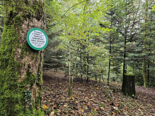
At the crossroads, go left. At the intersection, turn right following the green rectangle markings towards "Col du Lait". You pass in front of the Lait sighting stone. Continue on the trail to the viewpoint with a bench and picnic table. Follow the green rectangle until Col du Lait. Follow the yellow triangle to the Abri du Vallon. After the chalet, stay on the marked yellow triangle path which goes to the Borne des 3 Communes.
At the directional sign, which indicates the Borne des 3 Communes (3 villages borders stone), follow the green rectangle (Croix de Fresse GR533). At the crossroads, follow the red ring (sentier des Faisans) which goes down to the right. At the crossroads, follow the blue cross on the right (Roche du Frey). At Roche du Frey (picnic table), continue on the rocks for the viewpoint. Retrace your steps and go down the path (blue cross). At the crossroads, follow the yellow ring on the right. At the farm, follow the path straight ahead with the yellow ring “Le Lait”. After the gate, go down the path. Arriving on the road, turn right to join the route taken on the way to the parking lot.
Gpx track and hike description downloadable above.
From Wednesday 23 October 2024 to Thursday 31 December 2026
Every day
- Documents available in: :
- English
- German


