Hiking route la Loge du Rouleux
 Departure/Arrival
 Point of interest
Presentation
This route is currently inaccessible due to forestry work being carried out along its route.
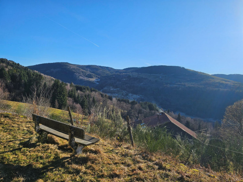
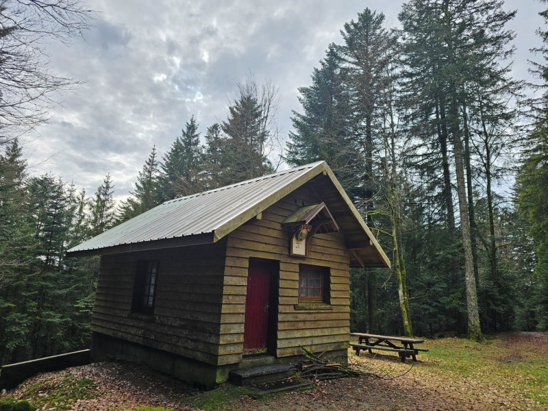
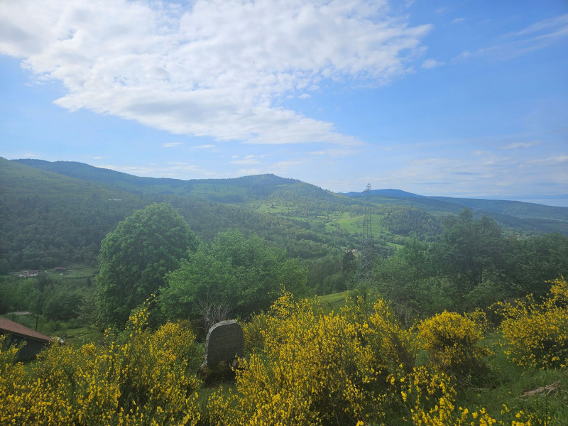
Pretty hike with viewpoints and shaded forest paths with the bonus of 2 charming little chalets on the route:
7.5 km, 300 metres ascent, 2.5 hours walk
IGN map 3619 OT.
Start: Chalet de la Golette car park.
Go up on the road towards "Les Huttes - Cornimont" marked yellow disk. After 700 meters, take the road on the left towards "Loge du Rouleux" yellow disc marks. A small bench is on the left, near a stele.
At the next crossroads, do not go straight ahead with the yellow disk marks but follow the road on the right. A small house is on the right in a clearing. Follow the red cross marks.
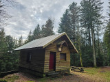
After almost 800 meters, in a left turn, turn right towards "Chalet des Baigneux 3 mins". It's a short return trip to discover this chalet with its picnic table. Back at the bend, go up on the right towards “Loge du Rouleux” red cross marks.
After 2 km, the path begins to go gently downhill. On the right you see the “Loge du Rouleux”, also called “Chalet des Italiens”. Continue on the path which goes down towards "La Golette - Le Ménil" (yellow disk marks).
At the crossroads 400 meters below, go straight ahead (yellow disk marks). Follow this path which leads to the road taken at the beginning of the hike and to the car park.
Gpx track and sheet of the hike downloadable above.
From Monday 05 August 2024 to Thursday 31 December 2026
Every day


