Hiking route Les 2 chapelles
 Departure/Arrival
 Point of interest
Presentation
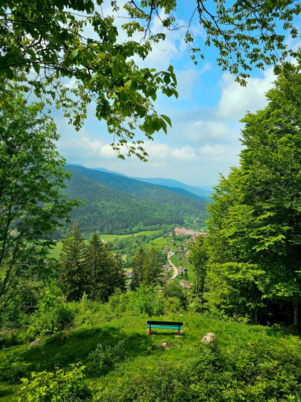
This wild walk, the central part of which is done exclusively on small paths on the mountainside, allows you to discover the charm of the Vosges forests.
Lenght : 12 km, elevation : + 510 meters, duration : 4 hours. IGN map reference 3619 OT.
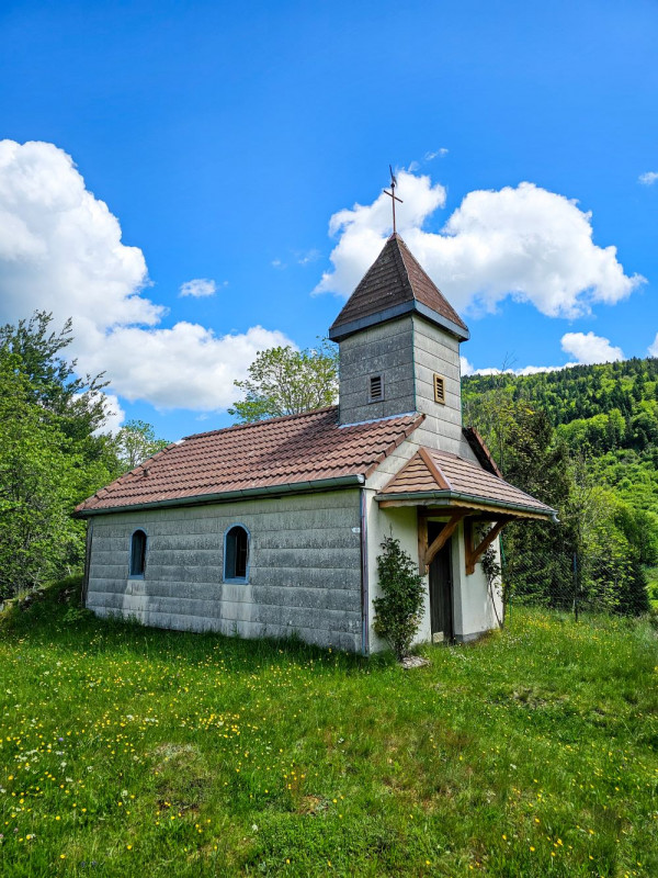
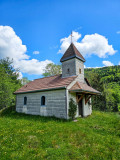
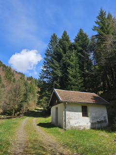
Starting point: parking lot on the right in the bend under the Chapelle des Charbonniers.
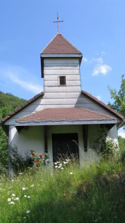
From the parking lot, go down the road and follow the red ring markings "Accès chapelle". Follow the path on the right “Accès chapelle” to reach the chapel. Retrace your steps and go up the road. At the bend, take the forest path on the right with a red ring. At the crossroads, continue left with the red ring. Stay right until the next intersection.
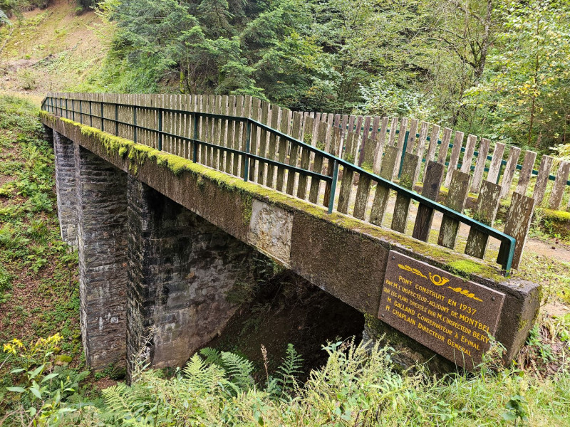
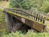
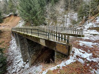
Go up the path along the stream for about 1 km then follow a path to the right which crosses a footbridge. Stay on this path which climbs to the left (direction Pont de Montbel - Les 3 Mousquetaires) up to the foot of the Pont de Montbel. Continue on this path which crosses a forest path. (Possibility of making a 50 m round trip to reach the bridge by taking the forest path on the left).
Continue the hike by taking the path on the right. Follow the path to the left with a red ring which overlooks the path. Continue for 1.2 km. (At the crossroads, possibility of making a 600 m round trip to the Chalet des Bluets, with a positive elevation of 50 meters). Go straight. The path joins the Route du Rouge Gazon (D90). Cross it to take the path opposite. Continue to the end of the path then on the forest path which goes to Chapelle Botiotte.
Go down the forest path which goes to the road. At the crossroads, go up a path on the right to the bench. Follow the path on the left which goes down to the road. Go down the road to the left then right to reach the parking lot at the starting point.
Gpx track and sheet of the hike downloadable above.
From Friday 25 October 2024 to Thursday 31 December 2026
Every day
- Documents available in: :
- English
- German


