Hiking route Les Balcons de Bussang
 Departure/Arrival
 Point of interest
Presentation
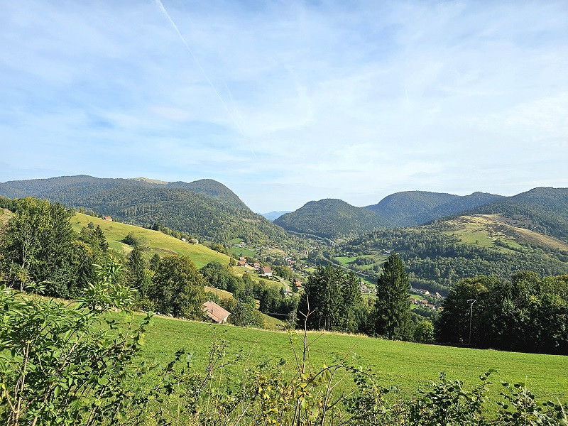
Very beautiful hike offering amazing viewpoints and nice paths in the forest on the heights of Bussang.
Length : 7.5 km - elevation : + 210 meters - Duration : 3 hours. Marks : green Rectangle - red Point - green-white-green rectangle.
Starting point : car park of the ski resort of Bussang: Larcenaire.
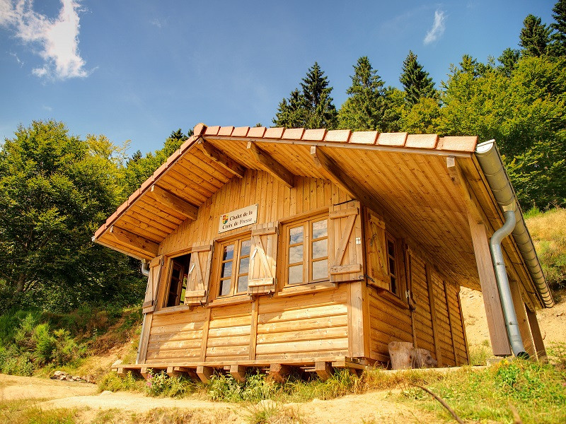
In front of the valley, follow the small road on your right on 100 m and join the large way marked with the green rectangle « Croix de Fresse ». Stay on this way for almost 2 km. You pass near by the « chalet de la Croix de Fresse » that offers a nice view on Bussang. A little further up is the Col de la Croix de Fresse (altitude 879 m). Continue on the right, go on the way with the red point mark. After 600 m, you can make a short detour to the Tête des Révolles to discover a nice viewpoint.
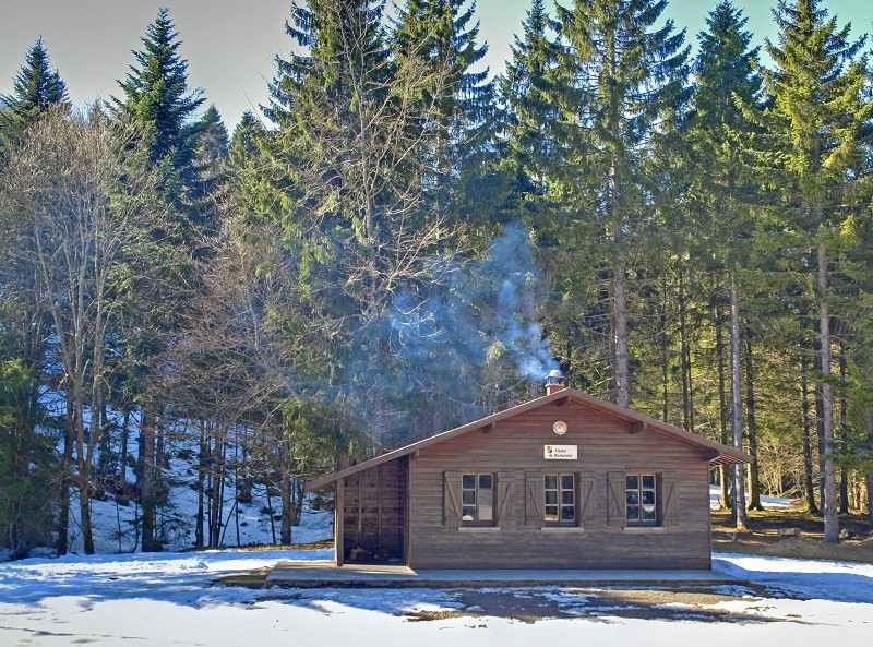
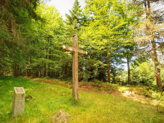
Follow the red point marked path for 1.2 km. Pass the Peut-Haut Chalet and its memorial. Continue for 1.8 km to reach the large Rochelotte plateau and its wooden chalet.
Pass in front of the chalet and take the path that goes down marked with a green-white-green rectangle "Larcenaire". Go down for 1 km until you arrive at a crossroads with the road to the Col du Page. Take the road on the right for 500 m, pass over the Azureva holiday village and reach your car.
IGN map reference 3619 OT or personalized map Bussang only available at the tourist office of Bussang.
Gpx track and sheet of the hike downloadable above.
All year long -2024
Every day
- Documents available in: :
- English
- German


