Hiking route : Statue of Saint Barbe and Sabbats rocks
 Departure/Arrival
 Point of interest
Presentation
Access : Centre of Bussang, Tourist office.
Departure : Car park at the tourist office. Length : 9.5km or 6.5km. Duration : 4h or 2h30. Elevation : + 554m or +328m. Marks : green point - yellow point - yellow diagonal cross - red triangle - green point.
From the Tourist Office, take the Rue de Lamerey which goes up to the Bouloie and turn quickly left into Rue du Breuil that goes along the cemetery. Follow this road for almost 450 m. Then take the path marked with the green point on the right along a house for 100 m and join the Rue du Chazal.
Go to the left down the road for about 100 m, before taking the path on the right marked with the green point "Rouge Gazon par Meuselotte, Roches du Sabbat, Neufs Bois".
Go along the place called Meuselotte, before arriving on a road where there are 2 farms. At the second farm, turn right on the green point marked path "Rouge Gazon par les Neufs Bois" which climbs and crosses a park. The climb is gradual on about 800 meters. Then continue on the wider path to the right for 500 metres. At the next crossroads is the cross “Croix Grosjean”.
Variant: possibility to short the hike, by taking the "chemin de Lameraie" marked blue-white-blue rectangle that leads straight on to the chalet des Evaux and take the path that goes down following the red triangle up to the bench (for the end of the hike, see the last paragraph).
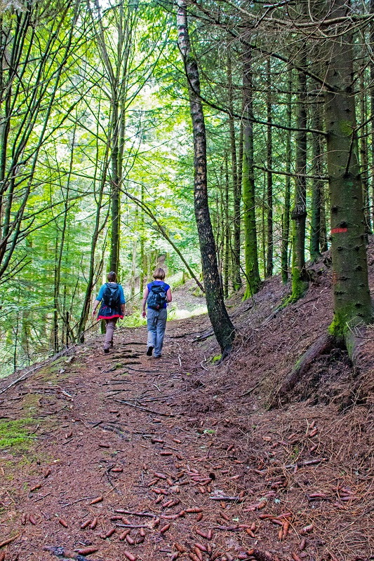
Continue straight ahead on the green disc way that climbs for about 1 km (beware of several ‘false paths’ that branch off to the right). When the track bends sharply to the right, continue straight ahead, taking the small path opposite you (green disc) and skirting the Roches du Sabbat. When you reach a wide track, follow the yellow disc to the right marked ‘Chalet des crêtes - Noiregoutte’. You will pass close to the Chalet des Crêtes. 200 m after the chalet, take the small path on the right that descends with the yellow sign ‘sentier Evrard’. You will come across the first path that you will follow for 20 m to the right. Follow the yellow signposted path down to the left. At the crossroads with a wider path, follow this path to the right for about 150 m and pick up the yellow signposted ‘Bussang’ path below. At the next crossroads, take the red triangle path, which climbs quickly on 200 m.
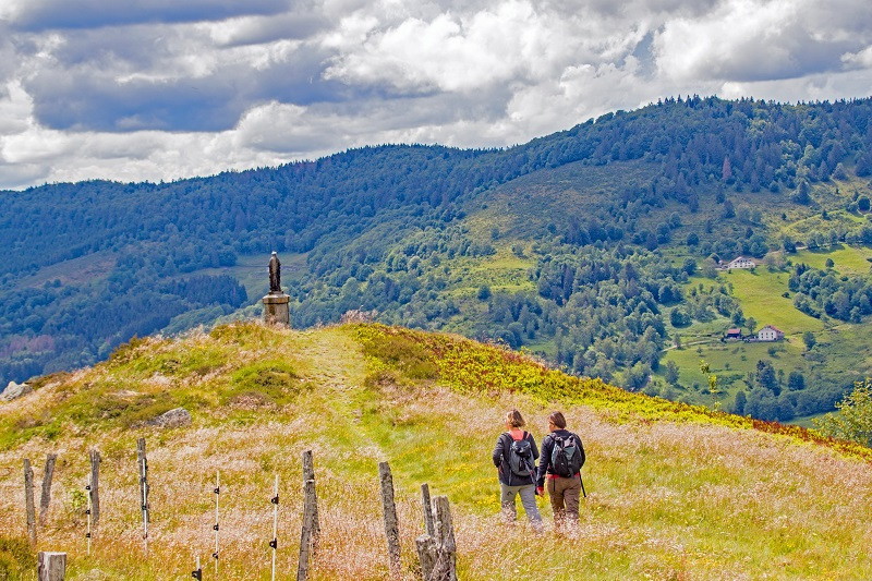
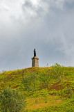
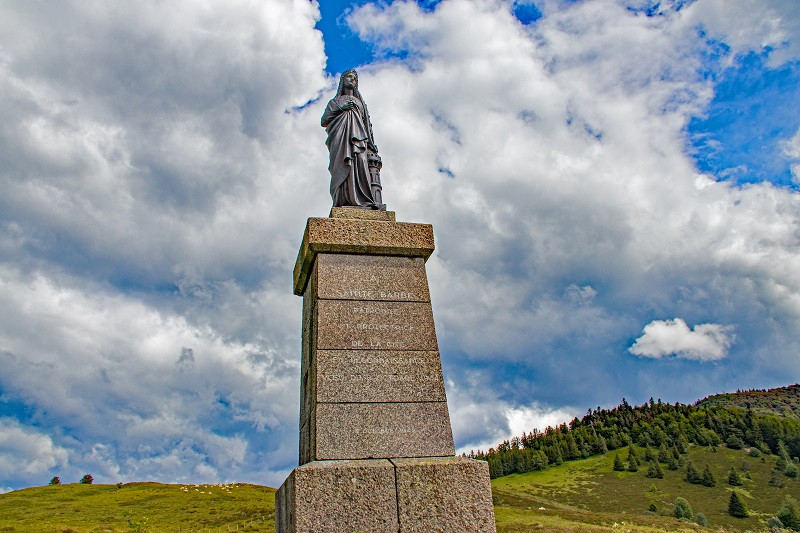
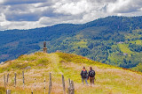
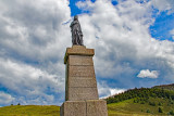
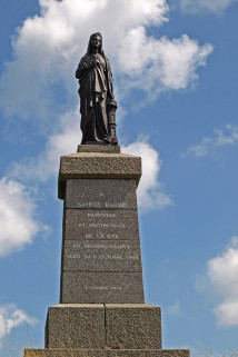
You overlook the statue of Saint Barb.
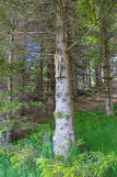
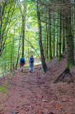
At the bench, descend to the statue following the red triangle marked path. Keep your eyes open and you might find the statuette of a virgin hiding on a tree along the path ... Cross the pasture. Below the statue, always follow the red triangle marks until you reach the trail with the green point marked “Bussang”.
Return to the Tourist Office by taking the same path as you took on the beginning of the hike, green point marked "Bussang".
The 2 Gpx tracks and the sheet with the route are downloadable here above.
IGN hiking map reference 3619 OT or personalized map hiking around Bussang only available at the tourist office of Bussang.
All year long -2024
Every day
- Documents available in: :
- English
- German


