Trail 4 route - Le tour des abris
- Trail
 Departure/Arrival
 Point of interest
Presentation
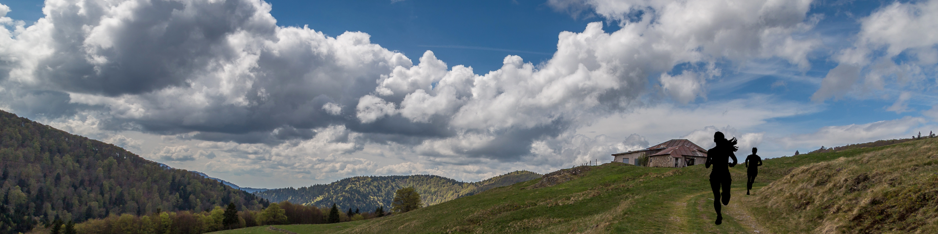
Length of the route: 16.21 km – Elevation gain: 675 m – Duration: 1 hour 40 minutes to 3 hours 20 minutes – Markings: Trail sign n°4 blue + Club Vosgien sign – Level: Medium.
Start: Tourism Office car park.
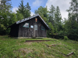
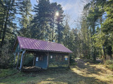
Starting from Saint-Maurice-sur-Moselle, this route takes you along the Presles pond towards the Abri de Longeligoutte shelter and on to the Frac pond, offering a lovely mix of trails and paths through our beautiful forests.
After a quick crossing of the valley to reach Fresse-sur-Moselle, a long climb via the Rochers du Sabbat and the Abri du Vallon shelter will take you to the Borne des Trois Communes, before dropping back down to the starting point.
All in all, a very beautiful medium-level route, perfect for a full trail run.
The routes on your smartphone...
All the routes of the Espace Trail des Ballons des Vosges are available free of charge on your smartphone thanks to the Trail Connect app in the ‘Destinations à découvrir’ (Destinations to discover) section.
GPX and PDF files of the tour can be downloaded below.
All year long 2026
Every day