Trail Route 3 - Le Larcenaire
- Trail
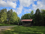
 Departure/Arrival
 Point of interest
Presentation
Length of the route: 11.82 km – Elevation gain: 490 m – Duration: 1 hour 30 minutes to 3 hours – Markings: Trail sign n° 3 blue + Club Vosgien sign – Level: medium.
Start: Tourist Office car park.
This route follows cross-country ski trails. It is closed during the winter months (running on cross-country trails is prohibited), so please check the snow report before setting off to see whether the cross-country area is open or not.
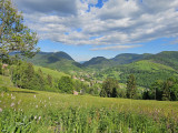
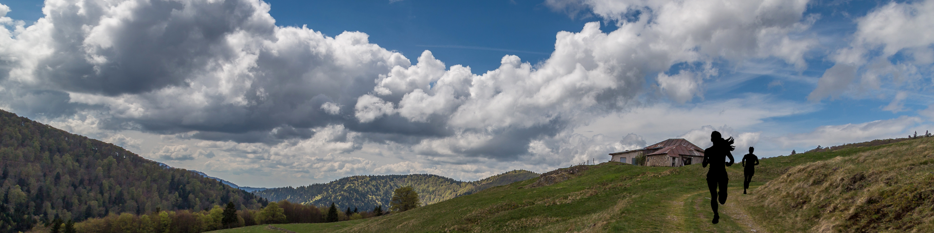
A short but demanding circuit!
You get straight down to business as you leave the village, with nearly 4km of steep climbing taking you via the Croix de Fresse to the Peut-Haut shelter.
Once you’ve conquered the entire ascent, you’ll skirt around the Tête des Corbeaux towards the Col de Rochelotte along the wide forest track.
The descent will take you to the family-friendly ski resort of Larcenaire via superb forest trails. You’ll finally head back down to your starting point to complete this intense circuit!
The routes on your smartphone...
All the routes of the Espace Trail des Ballons des Vosges are available free of charge on your smartphone thanks to the Trail Connect app in the ‘Destinations à découvrir’ (Destinations to discover) section.
GPX and PDF files of the tour can be downloaded below.
All year long 2026
Every day