Trail route n° 8 - Le Ballon d'Alsace
- Trail
 Departure/Arrival
 Point of interest
Presentation
Length of the route: 16.28 km – Elevation gain: 900 m – Duration: 2 hours 10 minutes to 4 hours 20 minutes – Markings: Trail sign n° 8 + Club Vosgien sign – Level: Difficult.
Start: Tourist Office car park.
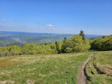
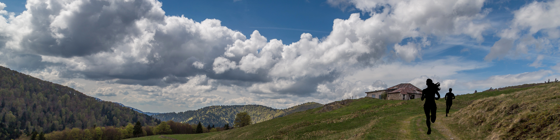
A superb route starting from Saint-Maurice-sur-Moselle, perfect for exploring and hiking up the legendary Ballon d'Alsace.
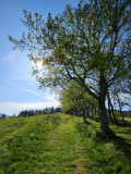
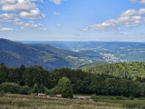
The climb is challenging but very enjoyable, alternating between shaded forest sections and open stretches offering superb panoramic views, leading to the Statue of Joan of Arc.
Once at the summit, the view stretches from the Alsatian plains to Mont Blanc on a clear day.
The descent follows the same route before joining wide forest tracks, passing the Spiller chalet towards La Goutte du Rieux.
A final push along a lovely track before heading back down to the village centre, the starting point of this trail.
An excellent route for a challenging trail whilst discovering the exceptional landscapes of the Ballons des Hautes-Vosges.
The routes on your smartphone...
All the routes of the Espace Trail des Ballons des Vosges are available free of charge on your smartphone thanks to the Trail Connect app in the ‘Destinations à découvrir’ (Destinations to discover) section.
GPX and PDF files of the tour can be downloaded below.
All year long 2026
Every day