Trail route n° 9 - La cité des tanneurs
- Trail
 Departure/Arrival
 Point of interest
Presentation
Length of the route: 22.18 km – Elevation gain: 870 m – Duration: 2 hours 30 minutes to 5 hours – Markings: Trail sign n°9 red + Club Vosgien sign – Level: Difficult.
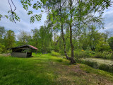
Start: Les Hautes-Mynes Museum car park.
Remember that in the mountains, you are always on someone’s land and they are merely tolerating your presence; on this route, you may come across the landowner’s dogs in the Pré Martin area.
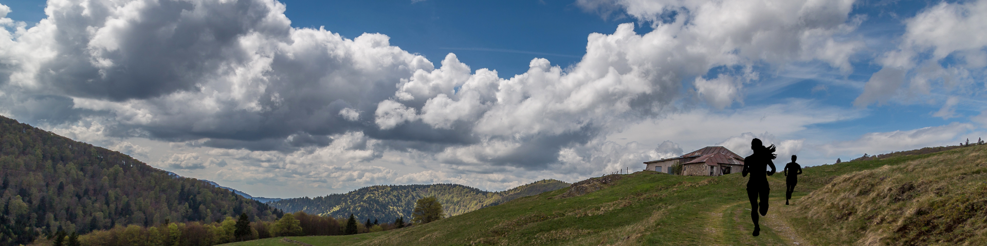
After a warm-up crossing through the town of Le Thillot, this route quickly takes you on a nice climb through the forest towards Chaillon and the Pic des Corbeaux shelter, just below the famous viewpoint of the same name, which is well worth a visit.
After a pleasant descent towards Fresse-sur-Moselle, the climb takes you towards the Étang du Frac, continuing on to the Col de Couard, still in the heart of the forest.
Halfway along the route, the historic site of Les Hautes-Mynes offers a cultural break before moving on to a more rolling section passing by the Vierge des Neiges at the Col des Croix and Pré Martin.
The western part of the route takes you across a magnificent plateau on the edge of the 1,000 Ponds, bordering the Étang de la Plancherotte and the Noirs Étangs, before gently descending towards the Chalet du Grammont and reaching Le Thillot to complete this beautiful circuit.
The routes on your smartphone...
All the routes of the Espace Trail des Ballons des Vosges are available free of charge on your smartphone thanks to the Trail Connect app in the ‘Destinations à découvrir’ (Destinations to discover) section.
GPX and PDF files of the tour can be downloaded below.
All year long 2026
Every day