Trail route n°10 - La p'tite trotte des Hautes Vosges
- Trail
 Departure/Arrival
 Point of interest
Presentation
Length of the route: 22.39 km – Elevation gain: 900 m – Duration: 2 hours 40 minutes to 5 hours 20 minutes – Markings: Trail n° 10 red sign + Club Vosgien sign – Level: Difficult.
Start: Church car park.
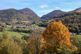
Starting from Fresse-sur-Moselle, set off on a beautiful, mountainous adventure through forests and with panoramic views of the Ballons.
This route follows cross-country ski trails. It is closed during the winter season (running on cross-country trails is prohibited); before setting off, check the snow report to see whether the Nordic ski area is open or not.
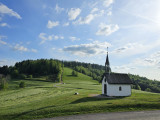
After a challenging climb to the Pic des Corbeaux and its panoramic views, the route continues through the Draimont area, passing the Chapelle des Vés and the enigmatic Four des Fées, before reaching the Haut de la Lochère and its pass.
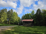
A forest track leads you between the Lochère and Rochelotte passes and the chalet at Rochelotte. You’ll pass the Larcenaire ski area and take the balcony path before descending to Bussang.
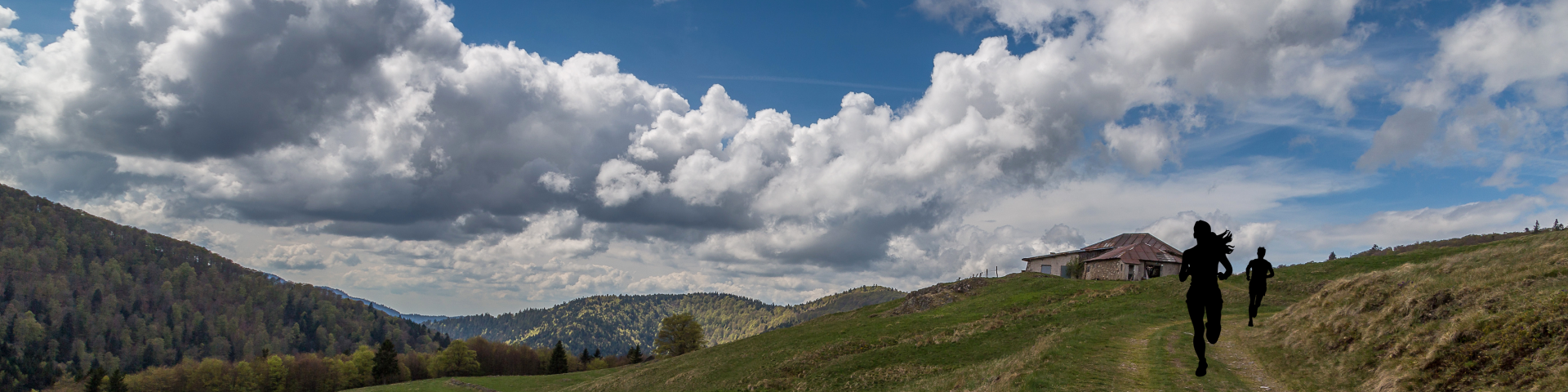
You’ll then climb back up to the Borne des Trois Communes. Once past the Vallon refuge, a final descent via the Rochers du Sabbat and the Tête du Couteau will allow you to complete the circuit with a breathtaking view of the valley.
The routes on your smartphone...
All the routes of the Espace Trail des Ballons des Vosges are available free of charge on your smartphone thanks to the Trail Connect app in the ‘Destinations à découvrir’ (Destinations to discover) section.
GPX and PDF files of the tour can be downloaded below.
All year long 2026
Every day