Trail route n°6 - La Lochère
- Trail
 Departure/Arrival
 Point of interest
Presentation
Length of the route: 17.59 km – Elevation gain: 730 m – Duration: 2 hours to 4 hours – Markings: Trail n°6 blue sign + Club Vosgien sign – Level: Medium.
Start: Tourist Office car park.
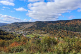
A beautiful, varied route with changes in elevation, starting in the village of Le Ménil.
Please note: this route passes through grazing areas (Tête des Champs). Guard dogs may therefore be present. The route may also be temporarily closed to accommodate the needs of the farmers. Please behave appropriately around Guard dogs: Stay calm, do not approach the herd and do not react to the dog. If possible, bypass the area.
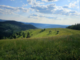
The first part of the route climbs steadily, passing the Chapel of Pitié and the Chapel of La Salette, with some steeper sections to reach the Tête des Champs. The ascent is pleasant and alternates between paths, small roads and meadows.
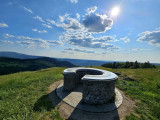
Once at the top, you can enjoy the panoramic views before continuing towards the Col de la Lochère. Beyond the pass, a final climb takes you along a pleasant forest path to the Haut de la Lochère (where the Four des Fées is located...).
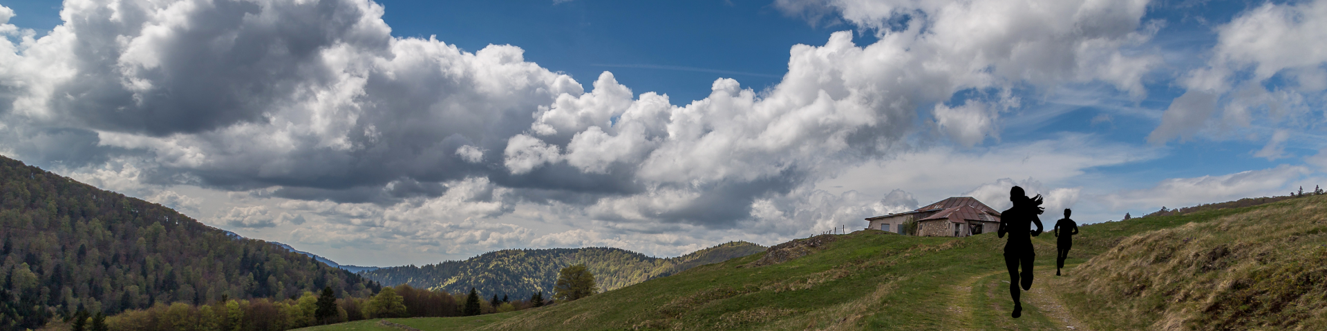
A playful single track leads you back to the starting point, bringing this tour to a nice finish.
The routes on your smartphone...
All the routes of the Espace Trail des Ballons des Vosges are available free of charge on your smartphone thanks to the Trail Connect app in the ‘Destinations à découvrir’ (Destinations to discover) section.
GPX and PDF files of the tour can be downloaded below.
All year long 2026
Every day