Trail track 2 - Le Tacot du Thillot
- Trail
 Departure/Arrival
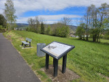
 Point of interest
Presentation
Length of the route: 10.26 km – Elevation gain: 474 m – Duration: 1 hour to 2 hours – Markings: Trail sign n° 3 green + Club Vosgien sign – Level: easy.
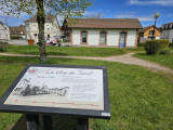
Start: Museum Les Hautes Mynes car park.
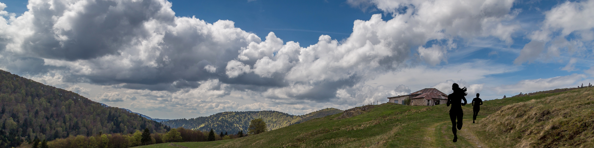
This route begins with a gentle warm-up on the cycling route, which climbs slightly before heading into the undergrowth to reach the ponds.
At kilometre 2.5, a steep climb awaits you: it's best to save some energy for this section, which is well known to participants in the Trail des Hautes-Mynes!
Once you reach the ponds, the terrain becomes easier to run on, ideal for changing pace on pleasant trails.
The loop ends gently with pretty paths and forest tracks leading downhill.
The routes on your smartphone...
All the routes of the Espace Trail des Ballons des Vosges are available free of charge on your smartphone thanks to the Trail Connect app in the ‘Destinations à découvrir’ (Destinations to discover) section.
GPX and PDF files of the tour can be downloaded below.
All year long 2026
Every day