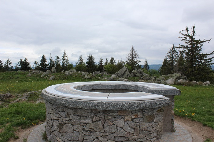
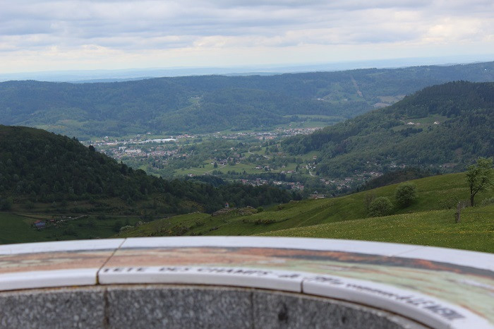
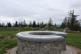
The orientation table on the Tête des Champs
Presentation
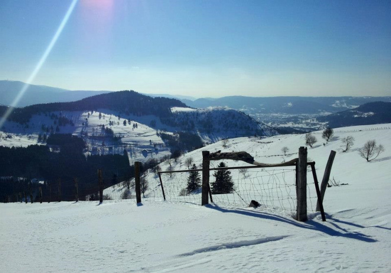
Overlooking the village of Le Ménil from the top of its 997 meters, the Tête des Champs, on which an orientation table was erected, offers a wonderfull panorama view on the Moselle Valley to the South and the Moselotte Valley to the North. The Chapelle de la Salette is just below this summit.
When the flock of sheep is between the Tête des Champs and the Col de Sécheneux, turn back, as the guard dog (the patou) is aggressive.
Opening day(s)
All year long -2024
Every day
Informations
- Category of environmental heritage :
- Regional country park
- Conditions of visit (groups) :
- Signposted footpaths
- Conditions of visit (individuals) :
- Signposted footpaths
- Location :
- In a Regional Country Park
- In the mountains
Destination
Table d'orientation de la Tête des Champs
la Tête des Champs
88160
LE MENIL
GPS coordinates
Latitude : 47.91604
Longitude : 6.82711
Contact
The orientation table on the Tête des Champs
la Tête des Champs
88160
LE MENIL
Phone : +33 3 56 11 00 90


