Trail area Ballons des Vosges - Trail tracks
2026 New!
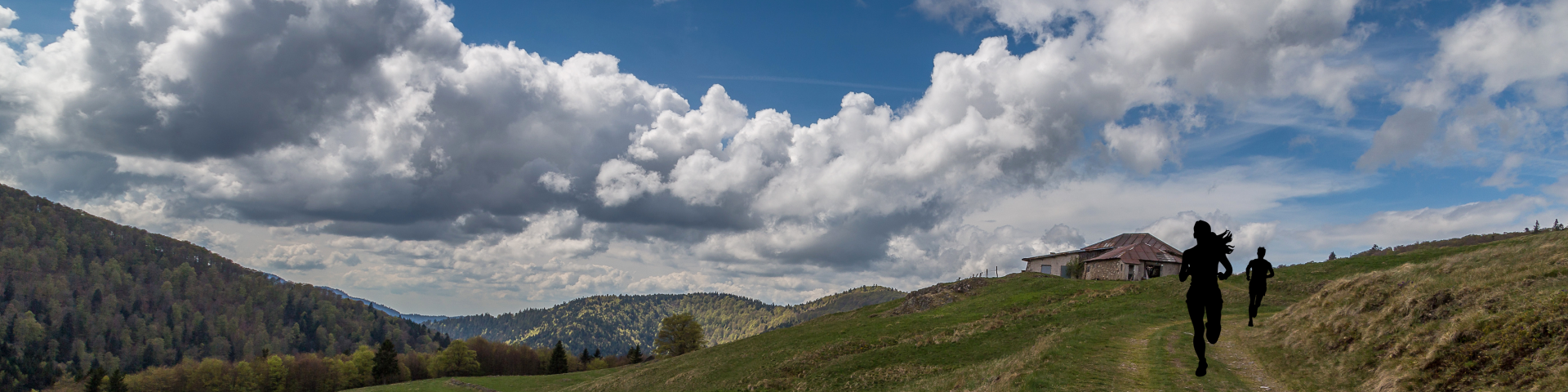
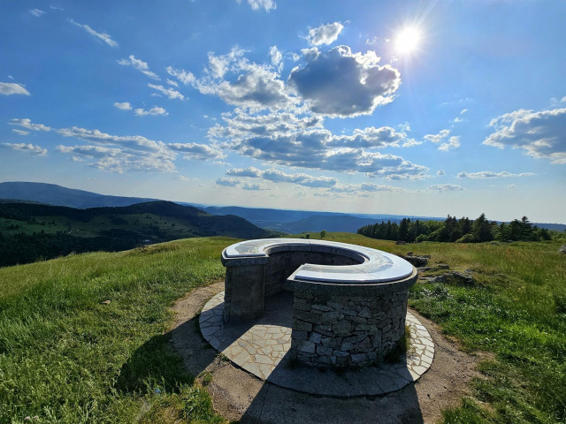
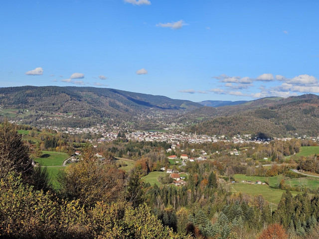
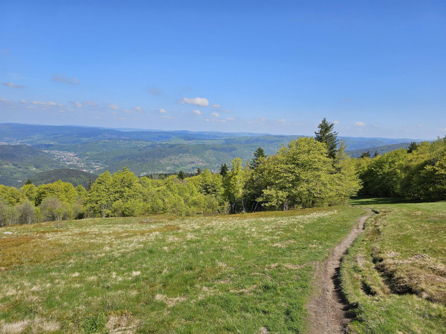
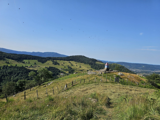
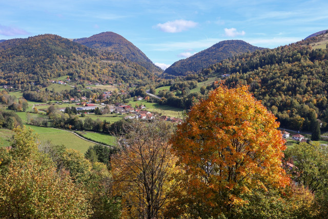
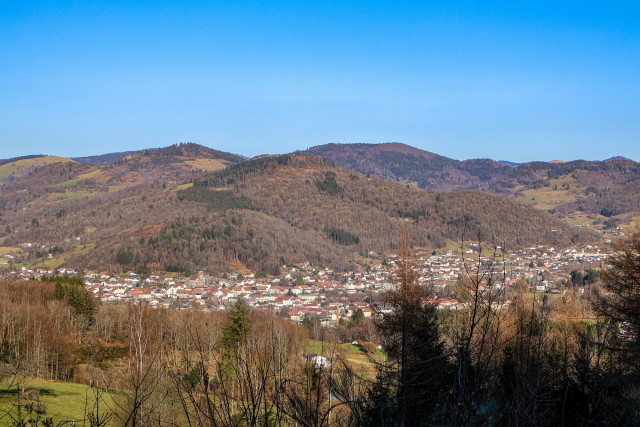
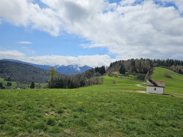
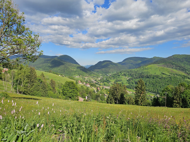
Nestled at the foot of the Ballons d’Alsace and Servance, the “Le Thillot” trail area is an ideal starting point for exploring the trail running routes of the Hautes Vosges, offering unspoilt nature, varied landscapes and authentic mountain charm.Running along the trails of the Ballons des Hautes Vosges means immersing yourself in the heart of unspoilt, wild nature. With technical climbs, wind-swept tops and moss-covered sections through the undergrowth, the terrain is challenging, but every effort is rewarded with spectacular views. 13 marked trails for all levels await you, inviting you to discover authentic Vosges trails!
When you return from a trail run, remember to check for ticks.
88160
RAMONCHAMP
-
Characteristics of the route :
- Distance in kms 14,57
- Difference in altitude 450
Length of the route: 14.57 km – Elevation gain: 450 m – Duration: 1 hour 40 minutes to 3 hours 20 minutes – Markings: Trail sign n°5 blue + ...
88160
LE MENIL
-
Characteristics of the route :
- Distance in kms 24,34
- Difference in altitude 920
Length of the route: 24.34 km – Elevation gain: 920 m – Duration: 2 hours 45 minutes to 5 hours 30 minutes – Markings: Trail n°11 red sign + ...
88160
LE THILLOT
-
Characteristics of the route :
- Distance in kms 9,44
- Difference in altitude 470
Length of the route: 9.44 km – Elevation gain: 470 m – Duration: 1 hour 10 minutes to 2 hours 20 minutes – Markings: Trail sign n° 1 green + ...
88160
LE MENIL
-
Characteristics of the route :
- Distance in kms 17,59
- Difference in altitude 730
Length of the route: 17.59 km – Elevation gain: 730 m – Duration: 2 hours to 4 hours – Markings: Trail n°6 blue sign + Club Vosgien sign – ...
88160
LE THILLOT
-
Characteristics of the route :
- Distance in kms 17,76
- Difference in altitude 710
Length of the route: 17.76 km – Elevation gain: 710 m – Duration: 2 to 4 hours – Markings: Trail sign n° 7 blue + Club Vosgien sign – Level:...
88560
SAINT MAURICE SUR MOSELLE
-
Characteristics of the route :
- Distance in kms 16,21
- Difference in altitude 680
Length of the route: 16.21 km – Elevation gain: 675 m – Duration: 1 hour 40 minutes to 3 hours 20 minutes – Markings: Trail sign n°4 blue + ...
88560
SAINT MAURICE SUR MOSELLE
-
Characteristics of the route :
- Distance in kms 16,28
- Difference in altitude 900
Length of the route: 16.28 km – Elevation gain: 900 m – Duration: 2 hours 10 minutes to 4 hours 20 minutes – Markings: Trail sign n° 8 + Club ...
88540
BUSSANG
-
Characteristics of the route :
- Distance in kms 48,50
- Difference in altitude 1980
Length of the route: 48.5 km – Elevation gain: 1980 m – Duration: 5 hours 30 minutes to 12 hours 40 minutes – Markings: Trail n°13 black sign +...
88160
FRESSE SUR MOSELLE
-
Characteristics of the route :
- Distance in kms 22,39
- Difference in altitude 900
Length of the route: 22.39 km – Elevation gain: 900 m – Duration: 2 hours 40 minutes to 5 hours 20 minutes – Markings: Trail n° 10 red sign + ...
88160
LE THILLOT
-
Characteristics of the route :
- Distance in kms 10,26
- Difference in altitude 480
Length of the route: 10.26 km – Elevation gain: 474 m – Duration: 1 hour to 2 hours – Markings: Trail sign n° 3 green + Club Vosgien sign – ...
88160
LE THILLOT
-
Characteristics of the route :
- Distance in kms 30,75
- Difference in altitude 1250
Length of the route: 30.75 km – Elevation gain: 1250 m – Duration: 3 hours 30 minutes to 7 hours – Markings: Trail n°12 red sign + Club ...
88540
BUSSANG
-
Characteristics of the route :
- Distance in kms 11,82
- Difference in altitude 490
Length of the route: 11.82 km – Elevation gain: 490 m – Duration: 1 hour 30 minutes to 3 hours – Markings: Trail sign n° 3 blue + Club Vosgien ...
88160
LE THILLOT
-
Characteristics of the route :
- Distance in kms 22,18
- Difference in altitude 870
Length of the route: 22.18 km – Elevation gain: 870 m – Duration: 2 hours 30 minutes to 5 hours – Markings: Trail sign n°9 red + Club Vosgien ...