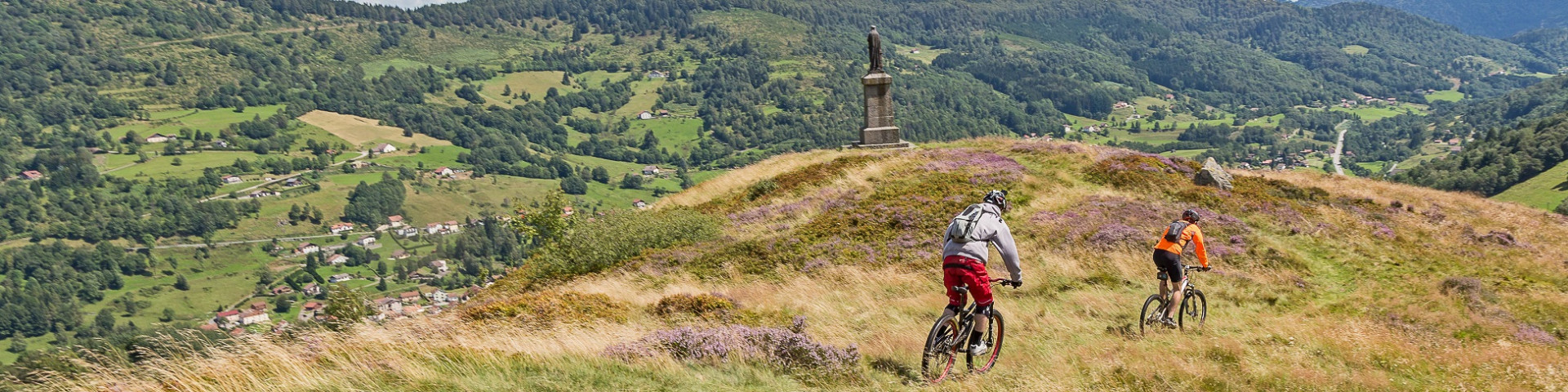
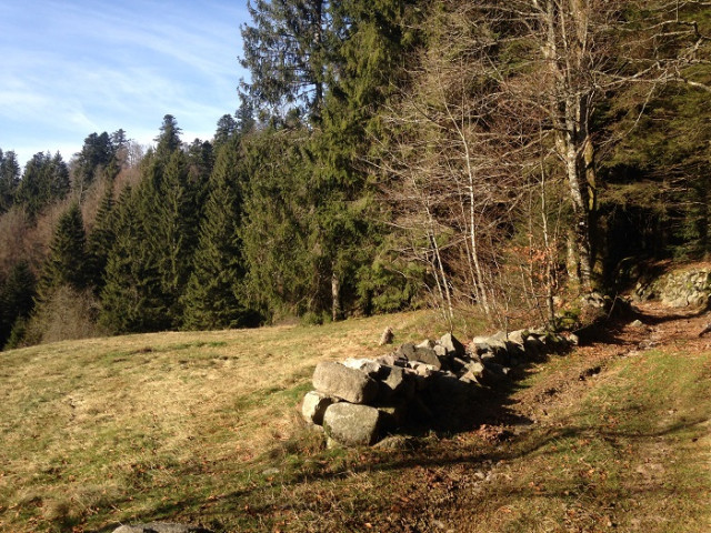
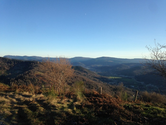
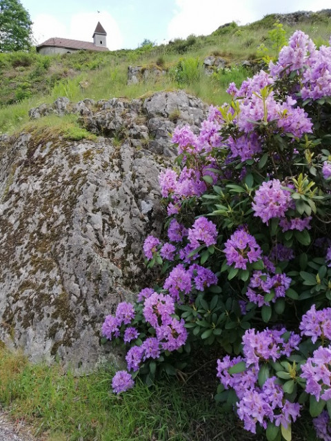
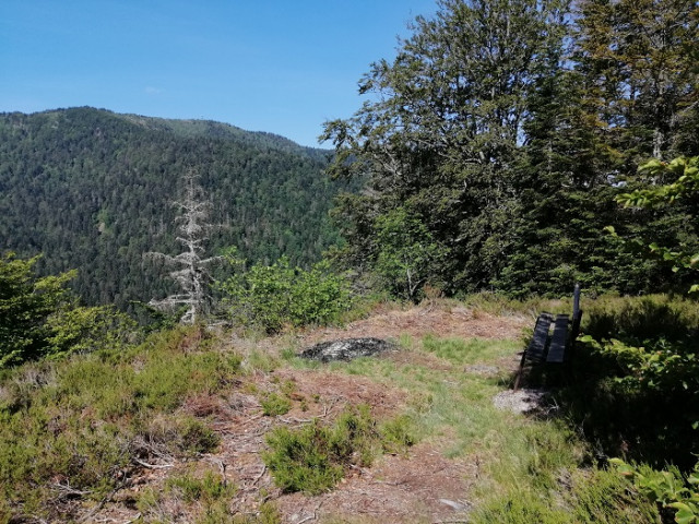
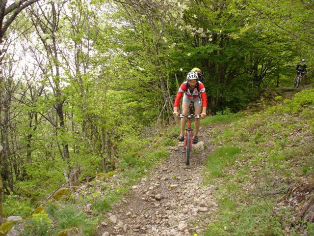
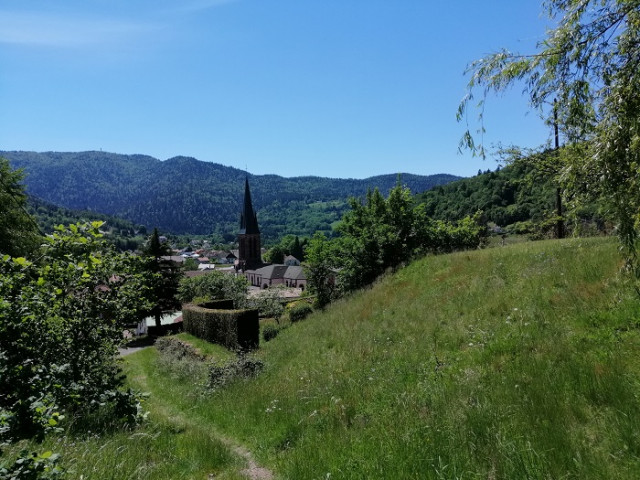
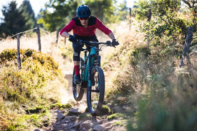
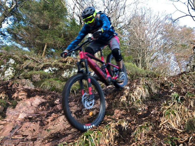
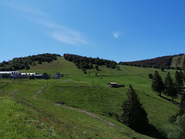
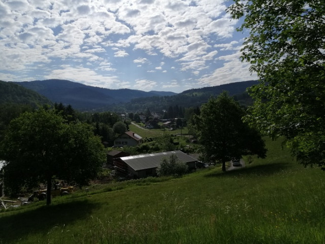
Our Mountainbike Routes
All those routes are marked and maintained.
You don't want to go alone on the moutain bike route, ask for a mountain guide https://en.ballons-hautes-vosges.com/mountain-guides-1.html or https://en.ballons-hautes-vosges.com/cycling-instruktor-guid-gvelo.html
You don't want to go alone on the moutain bike route, ask for a mountain guide https://en.ballons-hautes-vosges.com/mountain-guides-1.html or https://en.ballons-hautes-vosges.com/cycling-instruktor-guid-gvelo.html

88540
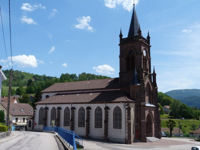
BUSSANG
-
Characteristics of the route :
- Distance in kms 10,5
- Difference in altitude 95
Marked FFC trail starting from the Tourist office : Track 2 Around the Village - difficulty level Blue - length of the trail 10.5 km - elevation + 95...
88560
SAINT MAURICE SUR MOSELLE
-
Characteristics of the route :
- Distance in kms 6
- Difference in altitude 60
Route marked FFC, start from the tourist office: Route N ° 11 Tour des Presles. Difficulty level: green - Length 6 km - difference in elevation : + ...
88160
LE THILLOT
-
Characteristics of the route :
- Distance in kms 17
- Difference in altitude 535
Signposted circuit departing from the Hautes Mynes Museum. Circuit n ° 16 "Les Hautes Mynes". Difficulty level: red. Distance: 17 km. Elevation: 535 ...
88540
BUSSANG
-
Characteristics of the route :
- Distance in kms 4
- Difference in altitude 23
1 marked FFC trail starting from the Tourist office : Track 1 Champé - difficulty level Green - length of the trail 4 km - difference of height 23 ...
88160
FRESSE SUR MOSELLE
-
Characteristics of the route :
- Distance in kms 19
- Difference in altitude 525
Signposted circuit starting from Col de la Lochère: circuit n ° 4 "La Lochère". Difficulty level: red. Lenght: 19 km. Elevation: 525 meters. ...
88360
RUPT SUR MOSELLE
-
Characteristics of the route :
- Distance in kms 18,5
- Difference in altitude 575
Signposted circuit departing from the town hall of Rupt-sur-Moselle. Circuit n ° 5 "Col du Rhamné". Difficulty level: red. Distance: 18.5 km. ...
88560
SAINT MAURICE SUR MOSELLE
-
Characteristics of the route :
- Distance in kms 13
- Difference in altitude 280
Route marked FFC, start from the tourist office:Track N ° 12 Les Charbonniers. Difficulty level: blue - Length 13 km - elevation + 280 m. Route that ...
88560
SAINT MAURICE SUR MOSELLE
-
Characteristics of the route :
- Distance in kms 23
- Difference in altitude 430
Route marked FFC, start from the tourist office: Track N ° 14 La Botiotte. Difficulty level: black - Length 23 km - elevation + 430 m. Route that ...
88540
BUSSANG
-
Characteristics of the route :
- Distance in kms 7,5
- Difference in altitude 140
Marked FFC trail from Larcenaire : Track 7 Rochelotte - difficulty level Blue - length of the trail 7.5 km - elevation + 140 m. Route in a loop, you ...
88560
SAINT MAURICE SUR MOSELLE
-
Characteristics of the route :
- Distance in kms 20
- Difference in altitude 430
Route marked FFC, start from the tourist office: Track N ° 13 La Grande Goutte. Difficulty level: red - Length 20 km - elevation + 430 m. Route that ...
88540
BUSSANG
-
Characteristics of the route :
- Distance in kms 13,6
- Difference in altitude 350
Marked FFC trail starting from the Tourist office : Track 9 La Bouloie-Séchenat - difficulty level Red - length of the trail 17 km - elevation + 350 ...

88540
BUSSANG
-
Characteristics of the route :
- Distance in kms 1,900
- Difference in altitude 480
La Houe: Enduro mountain bike track. Downhill runway profil 1900m. Vertical drop - 480m . Difficulty level: red. La Bouloie sector.
Start at the La ...
88540
BUSSANG
-
Characteristics of the route :
- Distance in kms 2,400
- Difference in altitude 330
La Mythique : Enduro mountain bike track. Downhill runway profil 2400m. Vertical drop - 330m . Difficulty level: blue. La Bouloie sector. Start : 1000...
88160
FRESSE SUR MOSELLE
-
Characteristics of the route :
- Distance in kms 15,5
- Difference in altitude 555
Circuit signposted from the town hall. Circuit n ° 5 "Le Vallon". Difficulty level: black. Lenght : 15.5 km. Elevation: 555 meters. Circuit which ...
88160
FRESSE SUR MOSELLE
-
Characteristics of the route :
- Distance in kms 10
- Difference in altitude 335
Signposted circuit starting from Col de la Lochère. Circuit n ° 3 "La Lochère". Difficulty level: blue. Distance: 10 km. Elevation: 335 meters. ...
88560
SAINT MAURICE SUR MOSELLE
-
Characteristics of the route :
- Distance in kms 2,5
- Difference in altitude 60
Route marked FFC, start from the Rouge Gazon: Track N ° 17 Les Mineurs. Difficulty level: green -Length 2.5 km - elevation + 60 m. Route that allows ...
88160
RAMONCHAMP
-
Characteristics of the route :
- Distance in kms 16
- Difference in altitude 550
Signposted circuit departing from Ramonchamp town hall. Circuit n ° 1 "Col de Morbieux". Difficulty level: red. Distance: 16 km. Elevation: 550 ...
88560
SAINT MAURICE SUR MOSELLE
-
Characteristics of the route :
- Distance in kms 7
- Difference in altitude 90
Route marked FFC, start from the tourist office: Track N ° 16 Le Hangy. Difficulty level: blue - Length 7 km - elevation + 90 m. This route allows ...
88560
SAINT MAURICE SUR MOSELLE
-
Characteristics of the route :
- Distance in kms 10
- Difference in altitude 230
Route marked FFC, start from the Rouge Gazon:Track N ° 18 Le Tour des Bleuets. Difficulty level: blue - Length 10 km - elevation + 230 m. This route ...

88360
RUPT SUR MOSELLE
-
Characteristics of the route :
- Distance in kms 10,5
- Difference in altitude 300
Signposted circuit starting from the Col du Mont de Fourche. Circuit n ° 3 Linqueny. Difficulty level: blue. Distance: 10.5 km. Elevation: 300 ...
88160
RAMONCHAMP
-
Characteristics of the route :
- Distance in kms 6,5
- Difference in altitude 115
Signposted circuit departing from Ramonchamp town hall. Circuit n ° 3 "Chapelle de Ramonchamp". Difficulty level: green. Distance: 6.5 km. Elevation:...
88160
LE THILLOT
-
Characteristics of the route :
- Distance in kms 12
- Difference in altitude 370
Signposted circuit departing from the Hautes Mynes Museum. Circuit n ° 15 "Col des Croix". Difficulty level: blue. Distance: 12 km. Elevation: 370 ...
88360
RUPT SUR MOSELLE
-
Characteristics of the route :
- Distance in kms 5
- Difference in altitude 110
Signposted circuit starting from the Col du Mont de Fourche. Circuit n ° 2 "Mont de Fourche". Difficulty level: green. Distance: 5 km. Elevation: 110...
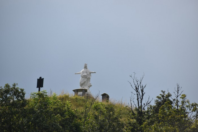
88160
LE THILLOT
-
Characteristics of the route :
- Distance in kms 6
- Difference in altitude 180
Signposted circuit departing from the Hautes Mynes Museum. Circuit n ° 14 "The Virgin of Thillot". Difficulty level: blue. Distance: 6 km. Elevation:...