Our Mountainbike Routes - Page 2
88160
RAMONCHAMP
-
Characteristics of the route :
- Distance in kms 16
- Difference in altitude 550
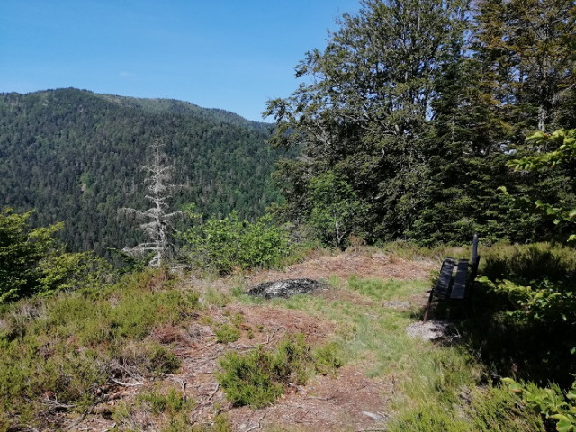
Signposted circuit departing from Ramonchamp town hall. Circuit n ° 1 "Col de Morbieux". Difficulty level: red. Distance: 16 km. Elevation: 550 ...
88540
BUSSANG
-
Characteristics of the route :
- Distance in kms 13,6
- Difference in altitude 350
Marked FFC trail starting from the Tourist office : Track 9 La Bouloie-Séchenat - difficulty level Red - length of the trail 17 km - elevation + 350 ...
88540
BUSSANG
-
Characteristics of the route :
- Distance in kms 21,5
- Difference in altitude 335
Marked FFC trail starting from the Étang des Sources pound: Track 8 Tour de la Hutte - difficulty level Red - length of the trail 21.5 km - elevation...
88560
SAINT MAURICE SUR MOSELLE
-
Characteristics of the route :
- Distance in kms 23
- Difference in altitude 430
Route marked FFC, start from the tourist office: Track N ° 14 La Botiotte. Difficulty level: black - Length 23 km - elevation + 430 m. Route that ...
88540
BUSSANG
-
Characteristics of the route :
- Distance in kms 1,900
- Difference in altitude 480
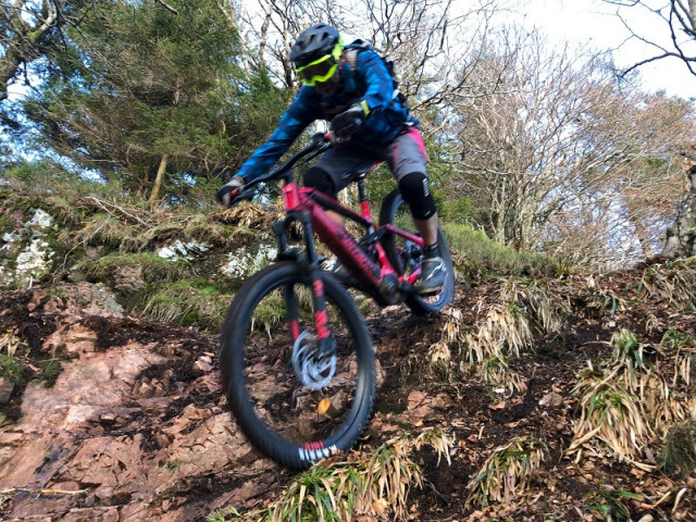
La Houe: Enduro mountain bike track. Downhill runway profil 1900m. Vertical drop - 480m . Difficulty level: red. La Bouloie sector.
Start at the La ...
88160
LE THILLOT
-
Characteristics of the route :
- Distance in kms 12
- Difference in altitude 370
Signposted circuit departing from the Hautes Mynes Museum. Circuit n ° 15 "Col des Croix". Difficulty level: blue. Distance: 12 km. Elevation: 370 ...
88560
SAINT MAURICE SUR MOSELLE
-
Characteristics of the route :
- Distance in kms 6
- Difference in altitude 60
Route marked FFC, start from the tourist office: Route N ° 11 Tour des Presles. Difficulty level: green - Length 6 km - difference in elevation : + ...